Feature · recon
The storm becomes a list.
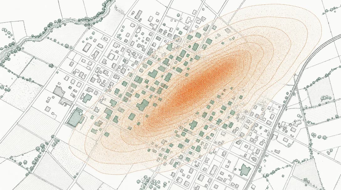
When hail falls, HailTrigger decodes the swath and finds every parcel whose footprint sits inside it — then scores each roof before a single piece prints.
Capabilities
What it does.
Swath containment, not radius
Targets are parcels inside a decoded MRMS/NEXRAD hail-swath polygon — the maximum-hail-size footprint — not 'near a report.' Addresses the hail missed are excluded.
Evidence on every roof
Hail size at the address, roof age, and the repair permit that was never pulled — verified per parcel against county records.
Honest by construction
Internal status is targeting_evidence_not_damage_finding. We know the hail hit the address; your inspection confirms damage. Never the reverse.
Public, re-runnable sources
NOAA radar, county parcels, municipal permits — citable, so an operator can show their work.